On this page you can get some information about Tatras.
|
|
|
 |
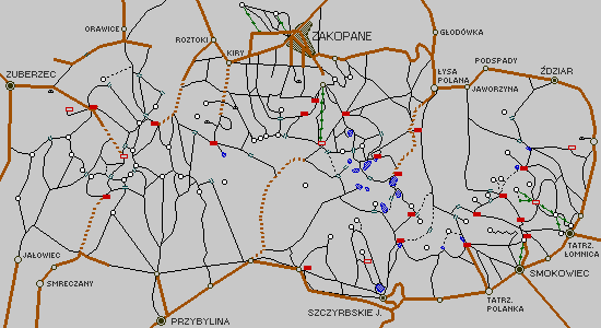
You can select the Tatras region by name instead of using above map.

On this page you can get some information about Tatras.
|
|
|
 |
You can select the Tatras region by name instead of using above map.